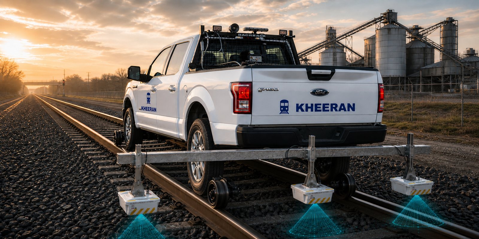
Ballast Investigation with GPR
Continuous mapping of ballast fouling, clean-ballast thickness and trapped water — calibrated to your ballast and reported by chainage.
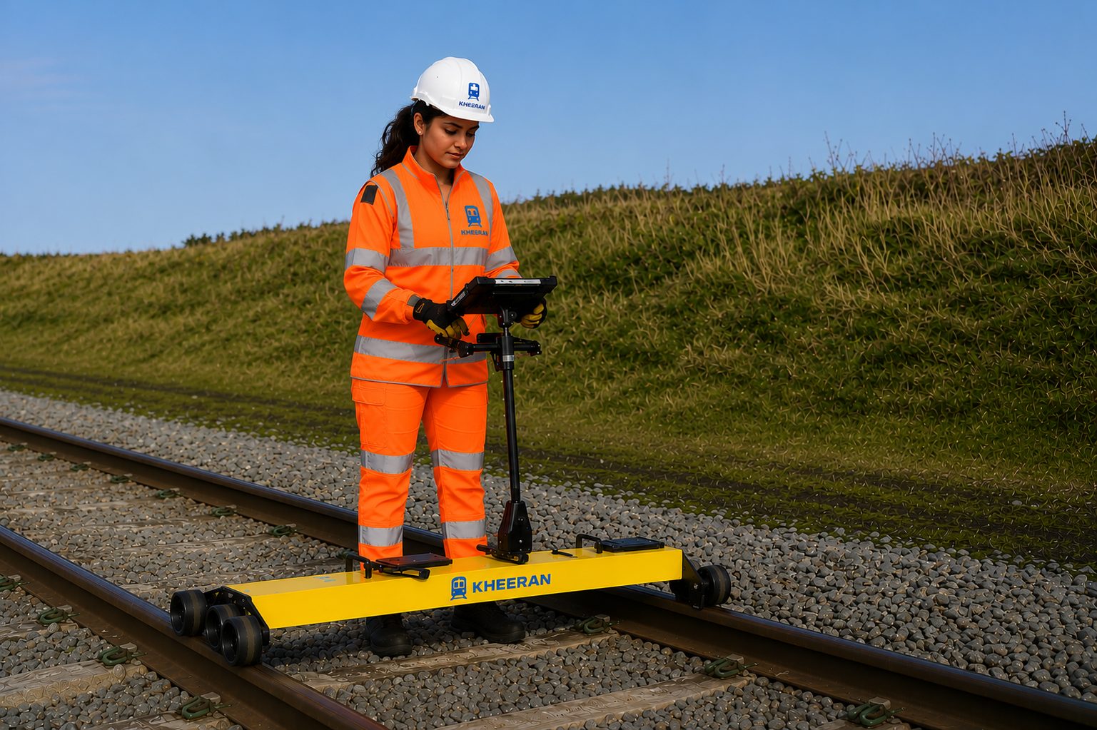
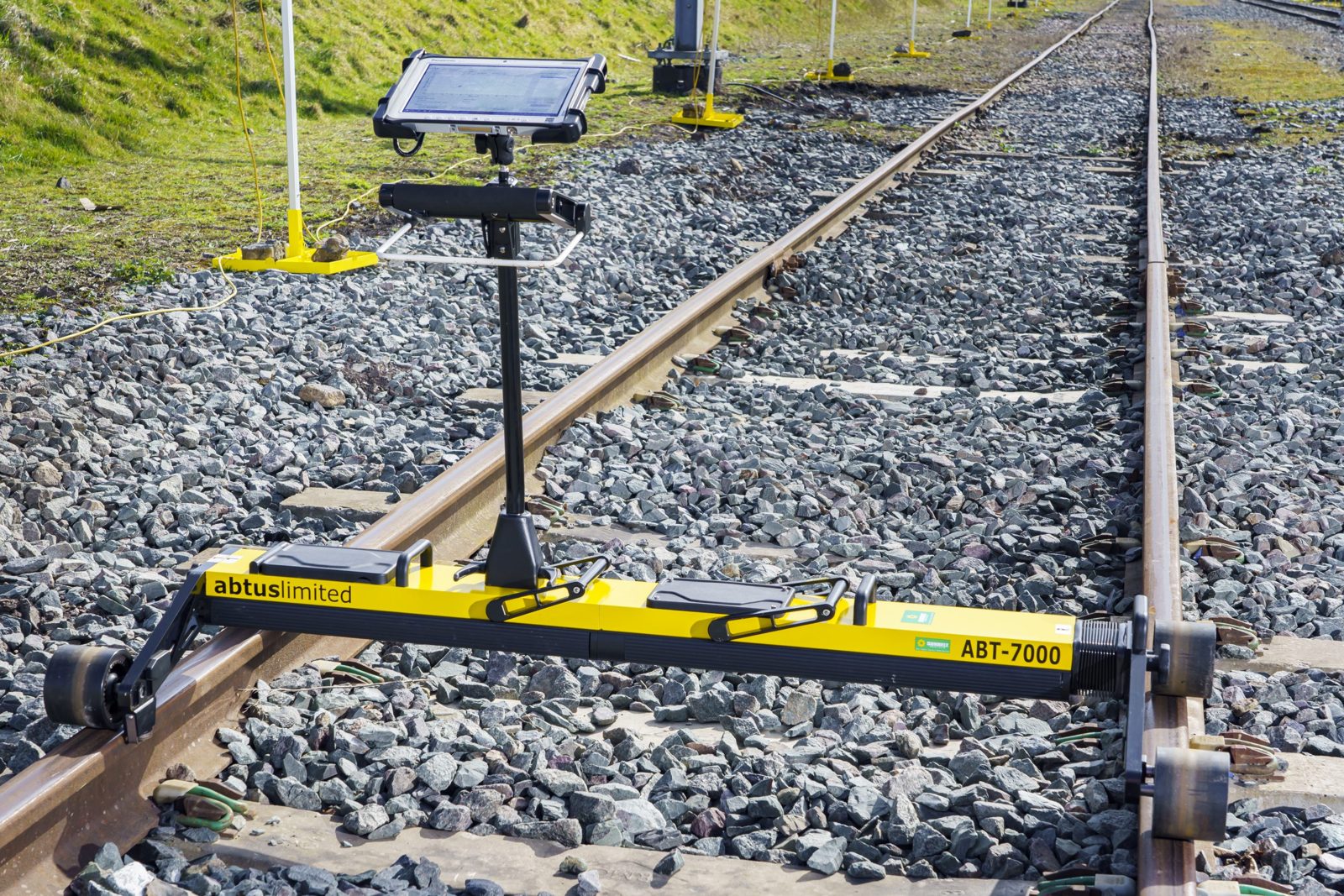
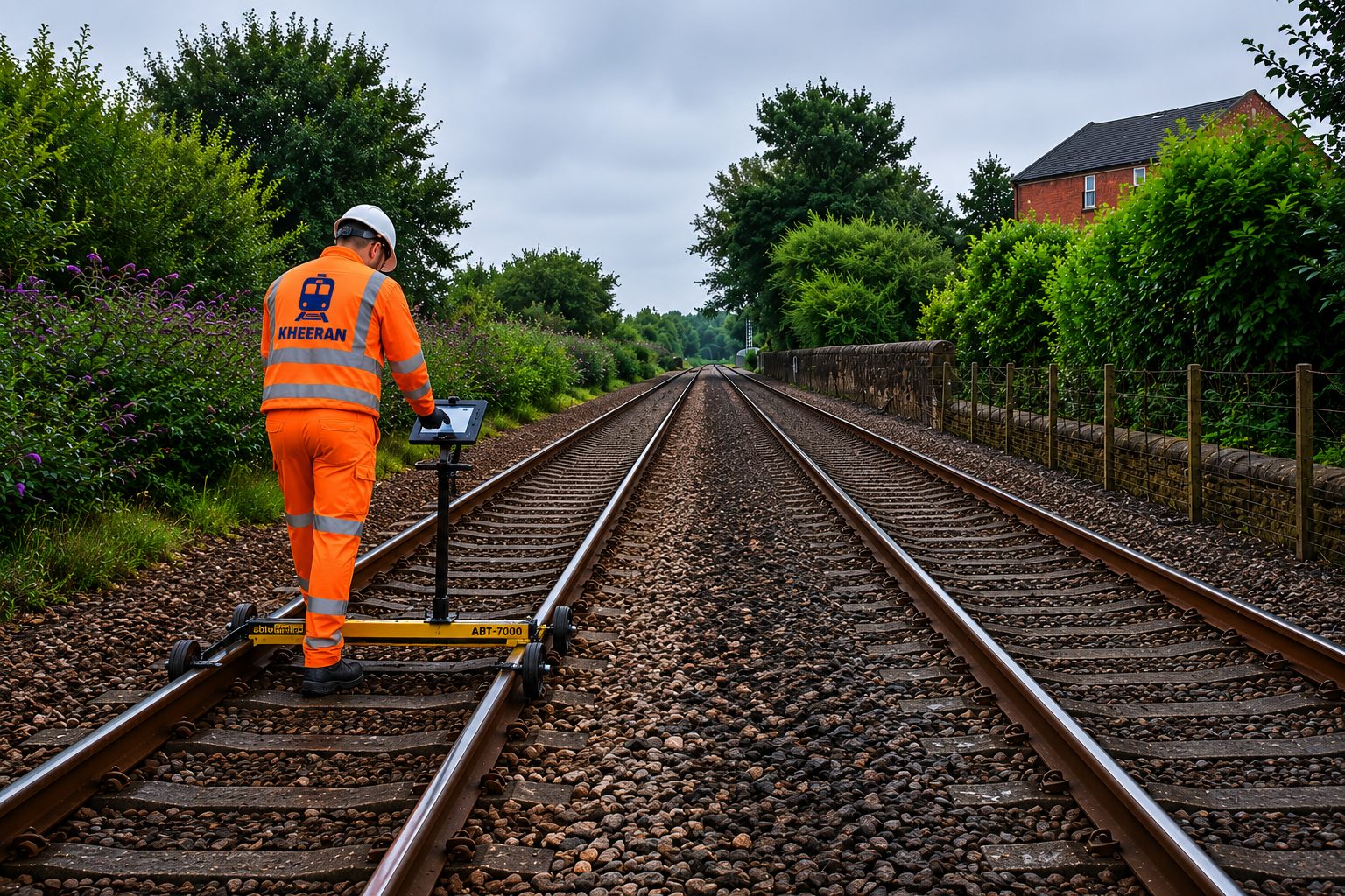
Rail Track Geometry
Geometry scanning that locates gauge, alignment, twist and surface defects — and ties faults back to their substructure causes.
Railway Asset Scanning with LiDAR
High-density LiDAR capture of track assets, structures and clearances for inventory, condition assessment and 3D modelling.
Ballast Investigation with GPR
Continuous mapping of ballast fouling, clean-ballast thickness and trapped water — calibrated to your ballast and reported by chainage.
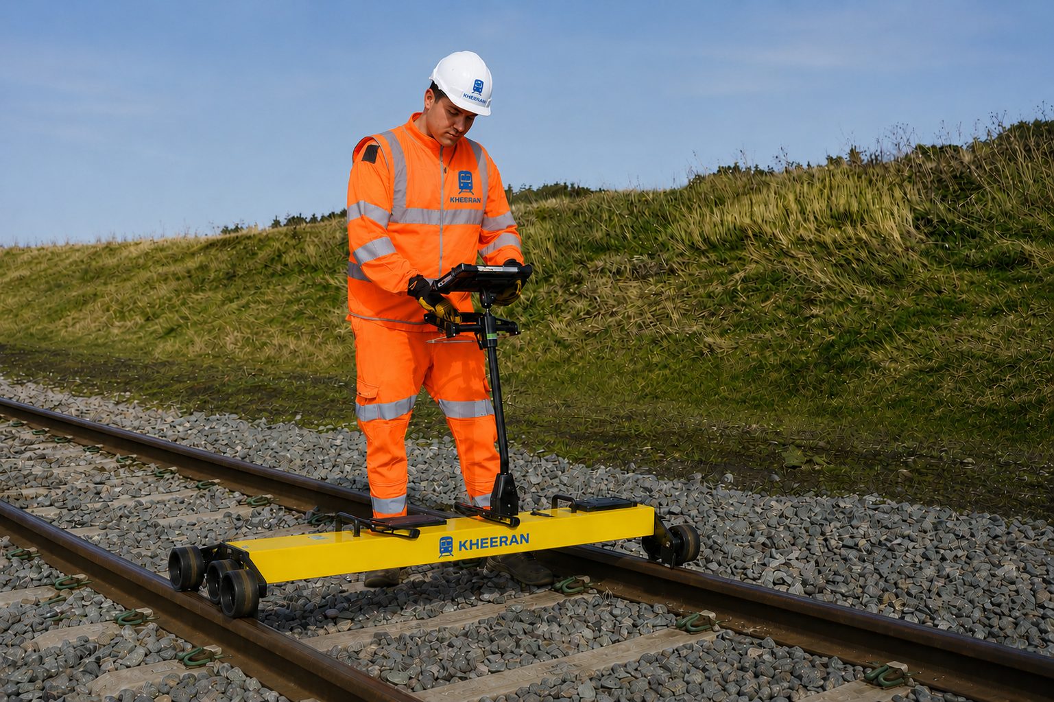
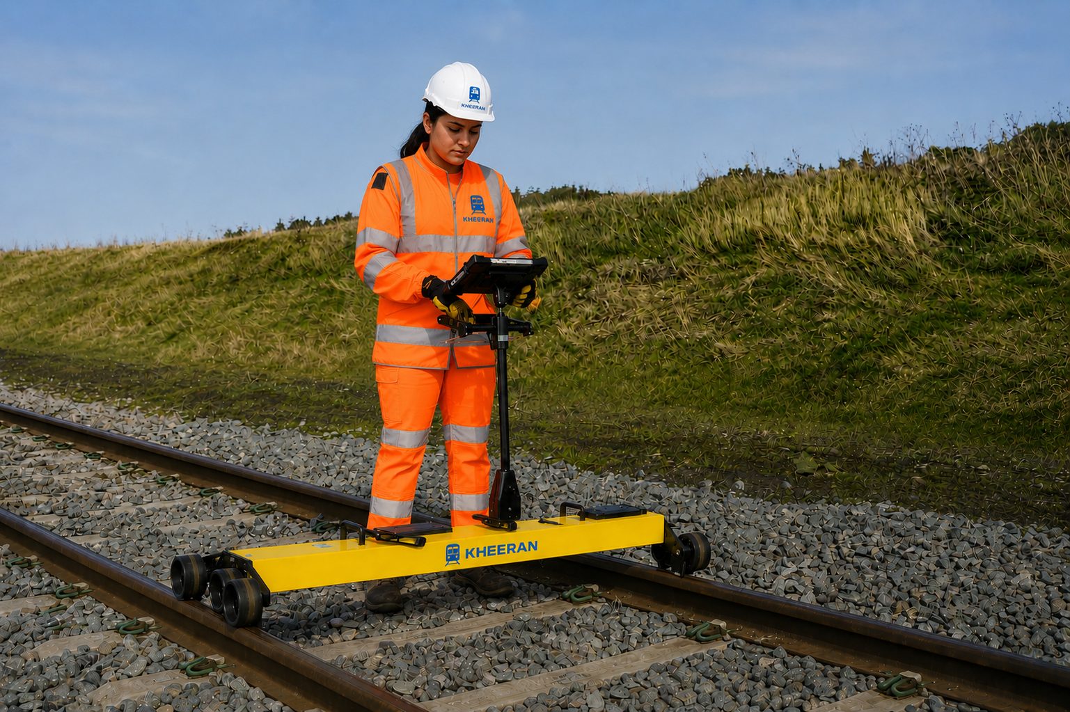
Rail Track Geometry
Geometry scanning that locates gauge, alignment, twist and surface defects — and ties faults back to their substructure causes.
Railway Asset Scanning with LiDAR
High-density LiDAR capture of track assets, structures and clearances for inventory, condition assessment and 3D modelling.