LiDAR Railway Asset Scan
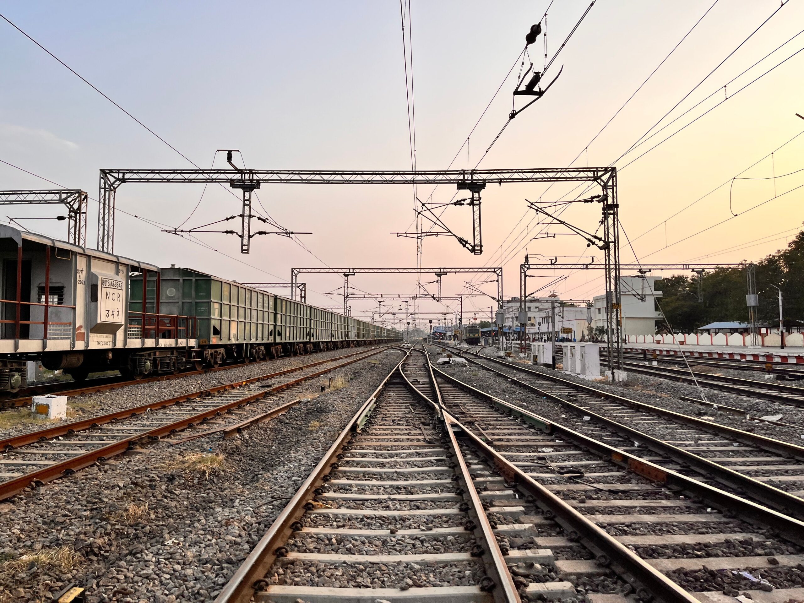
A representative KHEERAN LiDAR asset-scanning engagement — the scope and deliverables a typical project provides.Scope. High-density mobile LiDAR capture of a rail corridor: track, turnouts, signals, OCS/catenary or third-rail infrastructure, platforms, bridges, tunnels, drainage and lineside assets, together with the surrounding terrain and earthworks.Method. A hi-rail-mounted scanner array collects thousands of points per second within roughly a 100 m radius while cameras record 360° geo-referenced colour imagery. Tightly-coupled GNSS and inertial (IMU) navigation keeps the solution stable even where satellite signal is blocked by vegetation or structures, and the track centreline is measured directly from the scan so every asset carries a chainage and a horizontal/vertical offset from the rail-head plane.AI processing. Point clouds of billions of points are tiled, denoised and classified using deep-learning models that separate ground from structure and extract assets automatically — delivering accuracy and scale that manual extraction cannot match.Deliverables. Classified, georeferenced point cloud (LAS/LAZ); asset inventory with locations and attributes; structure-gauge and loading-gauge clearance analysis; vegetation and right-of-way encroachment mapping; and 3D/BIM models ready for design, simulation or asset-management systems. Combined with our GPR and geometry services, the result is a complete picture of the corridor — above and below the ballast line.Planning an asset scan? Talk to us →
Rail Track Geometry Campaign
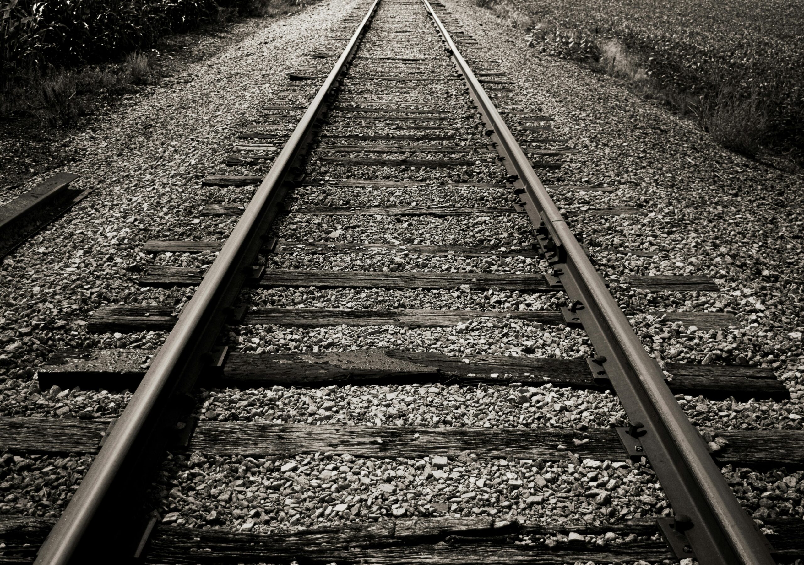
A representative KHEERAN track geometry engagement — the scope and deliverables a typical campaign provides.Scope. Continuous measurement of track geometry across a subdivision or network segment: gauge and gauge variation, horizontal alignment, vertical profile, cross-level/superelevation, twist and warp, curvature and superelevation runoff — referenced to your chainage and GPS.Standards. Geometry is evaluated against the governing track-safety standards — FRA 49 CFR Part 213 in the USA, the Transport Canada Rules Respecting Track Safety, and EN 13848 internationally — with exceptions classified by the resulting Class of Track and flagged where a two-class drop indicates serious non-compliance.Method. Measurement from a hi-rail vehicle or EN 13848-4 trolley using a chord-based (mid-chord ordinate) or space-curve approach, sampled at fine intervals with mechanical gauge contact that performs in adverse weather and vegetation. A Track Quality Index rates each segment good/average/poor within its class, and run-over-run comparison reveals deterioration rate.Deliverables. Geometry brush charts with flagged defects, exception and curve-analysis lists (peak value, length, location), KML maps and CSV data, limiting-speed and Class+1 analysis, and — combined with our GPR substructure data — root-cause pairing that distinguishes geometry faults caused by fouled ballast, trapped water or formation from surface-level defects.Planning a geometry campaign? Talk to us →
GPR Ballast Investigation Programme
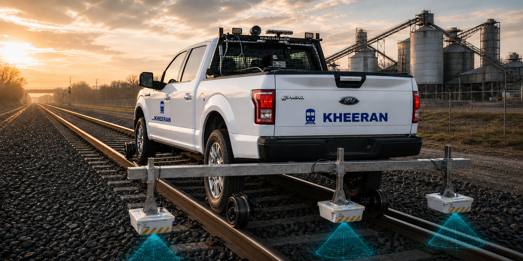
A representative KHEERAN ballast investigation — the scope and deliverables a typical engagement provides.Scope. Continuous substructure survey of mainline trackage: track centre and both ballast shoulders captured in a single pass from a hi-rail vehicle at normal hi-rail speeds, with GPS positioning and video asset mapping throughout. No excavation, minimal possession time.Method. Multi-frequency GPR — 2 GHz horn antennas for fouling detection via void-scattering analysis, 400 MHz antennas for deep substructure layering — cross-checked against targeted calibration samples with sieve analysis, so fouling classifications reflect the client's actual ballast.Deliverables. Fouling categories (clean through highly fouled) by chainage for centre and shoulders, clean-ballast thickness profiles, trapped-water and ballast-pocket flags, GIS condition mapping, statistical summaries by segment, and prioritized recommendations for undercutting, shoulder cleaning and drainage remediation. First-pass results within 24 hours of survey completion.Planning a ballast investigation? Talk to us →