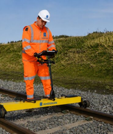

KHEERAN Corporation provides advanced railway LiDAR scanning in Brazil for asset inventory, clearance analysis and 3D corridor modelling. Our hi-rail scanner arrays capture the entire right-of-way — track, structures, signals and terrain — in one pass. As a result, Brazilian railways obtain a precise digital record of their infrastructure.
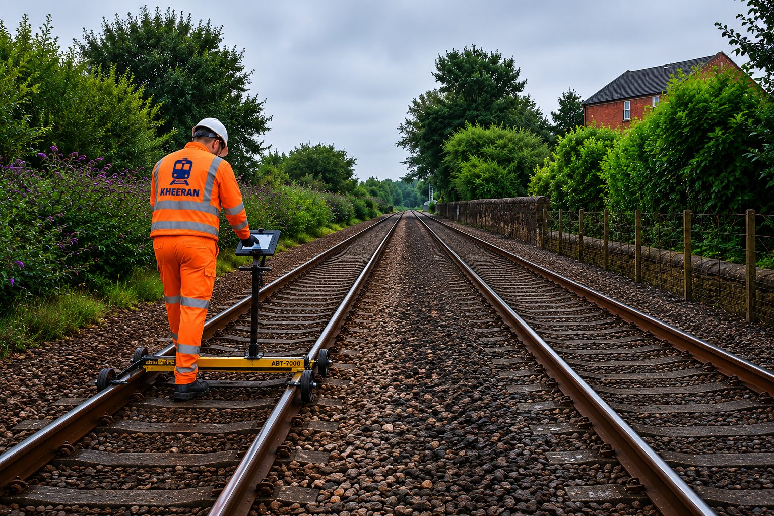
Railway LiDAR Scanning in Brazil: Why It Matters
Brazilian corridors cross dense vegetation, steep terrain and fast-growing encroachment zones. Consequently, manual asset surveys struggle to keep registers current. Railway LiDAR scanning in Brazil captures every asset and clearance in a single hi-rail pass. Moreover, vegetation encroachment mapping helps prevent service disruptions before they occur.
Hi-Rail Capture with GNSS and Inertial Navigation
The scanner array collects thousands of points per second within roughly a 100 m radius, while cameras record 360° geo-referenced imagery. Tightly-coupled GNSS and IMU navigation remains stable under jungle canopy and in deep cuttings. Furthermore, the track centreline is measured directly from the scan, so every asset carries chainage and offset values.
AI Classification at Network Scale
Deep-learning models tile, denoise and classify billions of points — separating ground from structure and extracting assets automatically. Therefore, KHEERAN delivers asset registers at a speed and consistency manual methods cannot reach.
What Your LiDAR Survey Delivers
- Classified, georeferenced LAS/LAZ point clouds.
- Asset inventories with locations and attributes.
- Structure-gauge and loading-gauge clearance analysis.
- Vegetation encroachment mapping and 3D/BIM models.
Why Operators Choose KHEERAN for Railway LiDAR Scanning in Brazil
KHEERAN pairs survey-grade capture with practical railway experience. Our teams plan around your traffic, possession windows and safety procedures. As a result, railway LiDAR scanning in Brazil proceeds without disrupting operations. Every dataset is delivered georeferenced, classified and ready for integration into your engineering and asset management workflows — with one point of contact throughout the project.
In addition, our railway asset scanning service integrates with GPR and geometry surveys in one campaign. Planning railway LiDAR scanning in Brazil? Contact KHEERAN today.