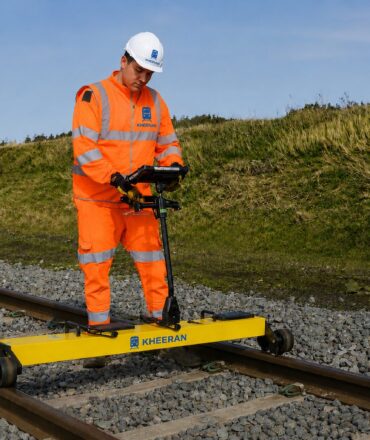

KHEERAN Corporation delivers professional railway LiDAR scanning in the USA for railroads, transit agencies and port networks. Our hi-rail scanner arrays capture track, signals, bridges, catenary and terrain in a single pass. Consequently, American railroads receive a complete, survey-grade digital twin of their corridor.
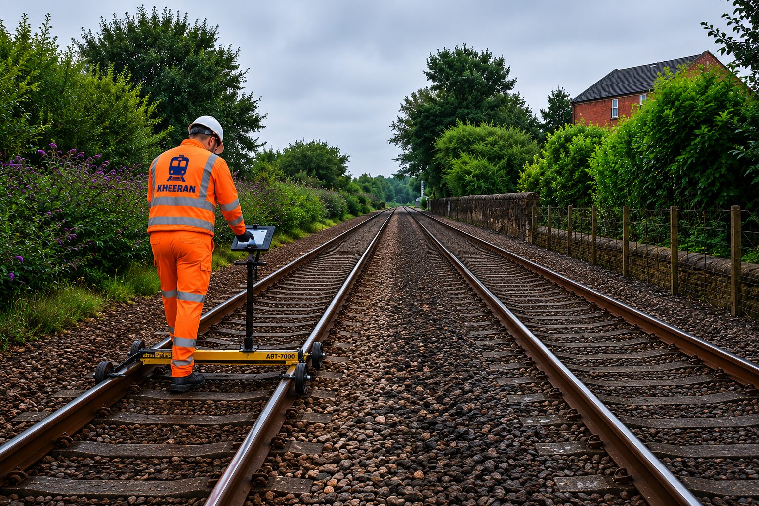
Railway LiDAR Scanning in the USA: Why It Matters
US networks manage enormous asset inventories across long corridors. Manual inventory and clearance checks consume crew time and track possession. As a result, railway LiDAR scanning in the USA has become the efficient path to accurate asset registers, clearance certification and vegetation management. One survey pass produces data that serves engineering, maintenance and capital planning teams alike.
Hi-Rail Capture, Stable in Any Environment
The scanner array collects thousands of points per second within about a 100 m radius, while cameras record 360° geo-referenced imagery. Tightly-coupled GNSS and IMU navigation stays stable through tunnels, cuttings and urban canyons. Furthermore, every asset is referenced by milepost and offset from the rail-head plane, measured directly from the scan.
AI Classification at Network Scale
Deep-learning models tile, denoise and classify billions of points automatically — separating ground, structures and assets. Therefore, extraction is faster, more consistent and more complete than manual workflows.
What Your LiDAR Survey Delivers
- Classified, georeferenced LAS/LAZ point clouds.
- Asset inventories with locations and attributes.
- Structure-gauge and loading-gauge clearance analysis.
- Vegetation encroachment mapping and 3D/BIM models.
Why Railroads Choose KHEERAN for Railway LiDAR Scanning in the USA
KHEERAN combines survey-grade capture with railway-specific expertise. Our crews understand possession windows, roadway worker protection and hi-rail operations. Consequently, railway LiDAR scanning in the USA is planned around your traffic, not against it. Clients receive one point of contact from scoping to final deliverables, and every dataset arrives ready for your engineering and asset management systems.
Moreover, our railway asset scanning service pairs with GPR and geometry campaigns for one integrated corridor picture. Planning railway LiDAR scanning in the USA? Contact KHEERAN for a quote.