Commissioning a railway GPR survey for the first time — or for a new corridor — raises a predictable set of questions. What does a railway GPR survey actually measure? How long will access take? What do the results look like, and what maintenance decisions will the data support?
Furthermore, the FRA’s ground penetrating radar research programme has validated GPR as a reliable, non-destructive method for ballast fouling detection — providing an authoritative basis for the inspection methods described in this guide.
This guide walks through each stage of a railway GPR survey, from initial scoping to report delivery, so that maintenance planners and track engineers know exactly what to expect before they issue a work order.
Step 1: Defining the Survey Scope
The first conversation between survey provider and client establishes the boundaries of the investigation.
Track length and configuration. The survey covers a defined corridor — a subdivision, a section, or a network region. Sidings, yard leads, and secondary lines are each considered separately.
Survey priorities. Sections with known geometry problems, sections that have not been surfaced in many years, or sections where subgrade pumping has been observed are natural priorities. Defining these ensures the schedule addresses highest-risk areas first.
Services to be combined. Many operators use a GPR campaign as the opportunity to simultaneously collect track geometry data and LiDAR asset scan data. A combined campaign reduces possession time and delivers an integrated dataset referenced to the same chainage system.
Calibration requirements. Every GPR survey requires calibration against the local ballast type. The number of calibration excavations is agreed during scoping — typically one to three per distinct ballast section.
Step 2: Access and Possession Planning
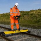
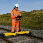
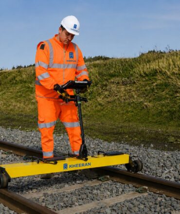
GPR surveys are conducted from a hi-rail vehicle at normal hi-rail speeds — typically 20–60 km/h. The survey vehicle needs a clear track window within your existing hi-rail access framework. Standard hi-rail protection procedures apply. A continuous 100 km mainline survey typically requires one to two operating days on track.
However, the most important aspect of survey day preparation is ensuring calibration locations are accessible and flagged in advance. Furthermore, having a site contact available to assist with possession protection significantly reduces delays.
Step 3: The Survey Day
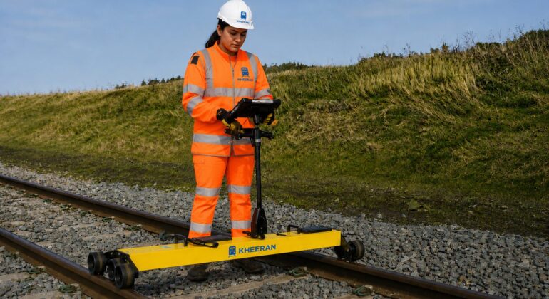
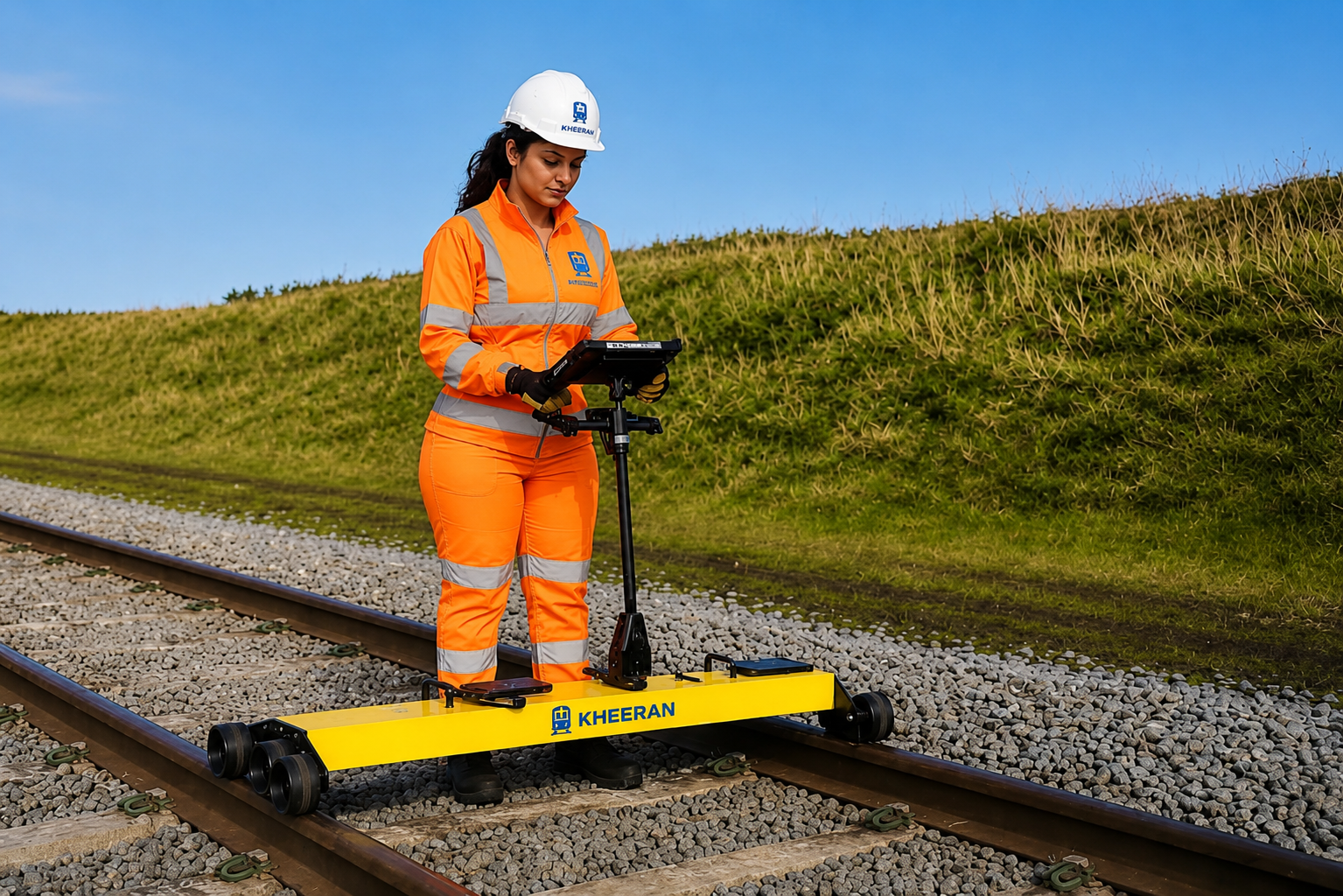
On survey day, the hi-rail vehicle enters the corridor at the agreed access point. The antenna array includes 2 GHz horn antennas positioned over the track centre and both shoulders — three simultaneous scan lines in a single pass — 400 MHz antennas for deep substructure penetration, a GPS receiver for continuous position referencing, and a video camera for surface condition documentation.
At 40 km/h, a 100 km corridor is surveyed in approximately 2.5 hours. Calibration excavations are completed at pre-agreed locations, with ballast samples dispatched to a certified laboratory for sieve analysis.
Step 4: Data Processing and Analysis
Once survey data is in the office, Kheeran’s AI-assisted analysis pipeline processes the raw radar signal to classify fouling category and flag water at each survey point. Classifications are checked against calibration sieve analysis results and adjusted for local ballast type.
First-pass results within 24 hours. Kheeran provides a preliminary chainage-referenced condition profile within 24 hours of survey completion — sufficient for immediate identification of urgent intervention zones. The full report follows within the agreed project timeline.
Step 5: Understanding Your Report
A Kheeran GPR ballast investigation report contains longitudinal fouling profiles (colour-coded charts by chainage for centre and both shoulders), clean-ballast thickness profiles, trapped water and ballast pocket flags, GIS condition maps, statistical summaries by segment, and a maintenance priority list — segments recommended for undercutting, shoulder cleaning, drainage remediation, or increased monitoring, ranked by severity and extent.
Common Questions
Does the survey disrupt train operations? No. The hi-rail survey vehicle operates within your normal hi-rail access windows.
How often should a corridor be surveyed? On high-tonnage mainlines, annual or biennial surveys provide the run-over-run deterioration data needed for predictive planning. Lower-traffic lines may be surveyed less frequently.
What do we do with the results? The report feeds directly into your annual maintenance programme. Kheeran staff are available to present results to maintenance planning teams and discuss how condition findings map to your maintenance budget and undercutting schedule.
Contact Kheeran to scope your next GPR ballast investigation.