Railway LiDAR scanning is transforming the way rail operators inventory, assess, and manage their corridor infrastructure. A railway corridor is more than two rails and a bed of ballast — it is a complex system of signals, OCS/catenary, bridges, culverts, platforms, drainage assets, and kilometre upon kilometre of lineside structures, all of which must be inventoried and periodically assessed for clearance compliance.
Additionally, the underlying LiDAR technology — originally developed for aerospace and defence applications — has in recent years become the standard tool for infrastructure corridor mapping due to its speed, accuracy, and ability to operate in adverse conditions.
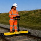
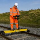
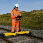
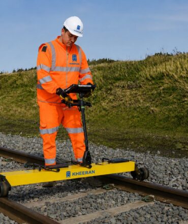
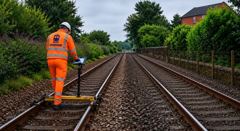
Traditional survey methods are slow, personnel-intensive, and incomplete. Railway LiDAR scanning changes this equation fundamentally: a single hi-rail pass captures the entire corridor in three dimensions, at millimetre-level resolution, with every point georeferenced to the track chainage and GPS coordinate.
LiDAR (Light Detection and Ranging) changes this equation fundamentally. A single hi-rail pass with a mobile LiDAR system captures the entire corridor in three dimensions, at millimetre-level resolution, with every point georeferenced to the track chainage and GPS coordinate.
How Mobile Railway LiDAR Works
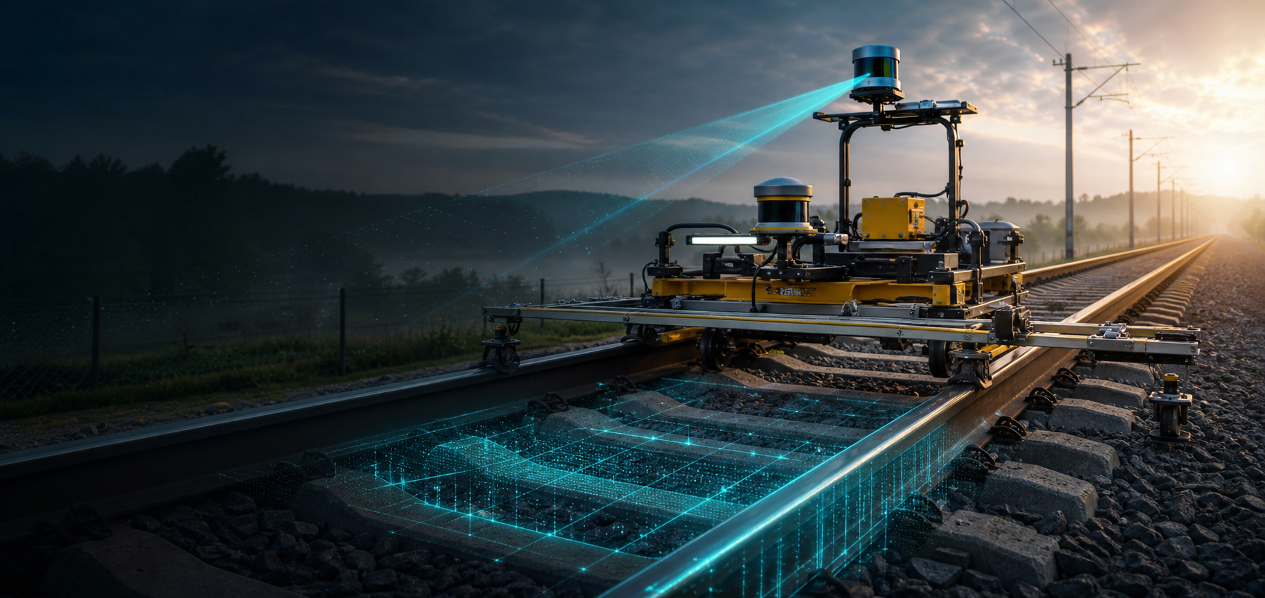
A mobile LiDAR system emits laser pulses at rates of hundreds of thousands per second. Each pulse travels to the nearest surface, reflects, and returns to the sensor, giving the precise distance to that point. With the scanner rotating continuously, the system builds a three-dimensional point cloud as the vehicle moves.
GNSS + IMU integration provides absolute position and continuous attitude between GNSS fixes — maintaining accuracy through tunnels, under bridges, and in areas of tree cover where satellite signal is blocked. Horizontal accuracy of ±20–50 mm and vertical accuracy of ±10–30 mm makes this suitable for clearance analysis, asset location, and condition assessment.
Colour imaging adds a photographic layer. Calibrated cameras capture 360° geo-referenced imagery time-synchronised with the LiDAR scan, so every point can be viewed in real-world colour context.
What Gets Captured in a Single Pass
A hi-rail LiDAR survey captures, in one deployment: track infrastructure (both rails, sleepers, fasteners), turnouts and switches, signals and lineside signs, OCS and catenary (stagger, height, gradient), platforms (edge distance and height relative to rail head), bridges and tunnels (complete as-built geometry with clearance extraction), drainage assets, and vegetation and right-of-way encroachment.
Therefore, automated classification is not simply a convenience — it is the enabling technology that makes network-scale LiDAR surveys economically viable. Moreover, consistent classification across all survey runs makes run-over-run comparison statistically meaningful in a way that manual extraction cannot.
AI-Assisted Point Cloud Classification
A dense LiDAR survey produces billions of points. Kheeran applies deep-learning classification models to automatically separate ground from structure, rail from non-rail metalwork, vegetation from fixed infrastructure, and specific asset classes. Automated classification delivers accuracy and speed that manual methods cannot match.
Key Deliverables
Classified, georeferenced point cloud (LAS/LAZ). The complete corridor in 3D, ready for CAD, GIS, and BIM environments.
Asset inventory. Every captured asset class with location (chainage, GPS), offset from track centreline, and attribute fields.
Structure-gauge and loading-gauge clearance analysis. Automated comparison of the as-built envelope against the operating gauge template, with encroachment flags.
Vegetation encroachment mapping. Vegetation height and density classified by distance from track and flagged against your clearance policy.
3D / BIM models. Structures and platforms modelled for design, simulation, or asset management integration.
360° geo-referenced imagery. Accessible by chainage for visual inspection without returning to site.
Combining LiDAR with GPR and Geometry
A LiDAR survey captures everything above the ballast surface. GPR captures the substructure below it. Track geometry captures the shape of the rail running surface. When all three are collected in a single campaign, referenced to the same chainage system, maintenance planners have a complete, integrated picture of corridor condition.
Get in touch with Kheeran to plan your next asset scan.