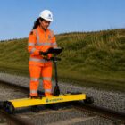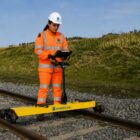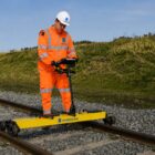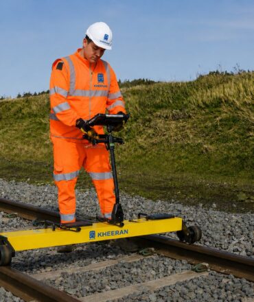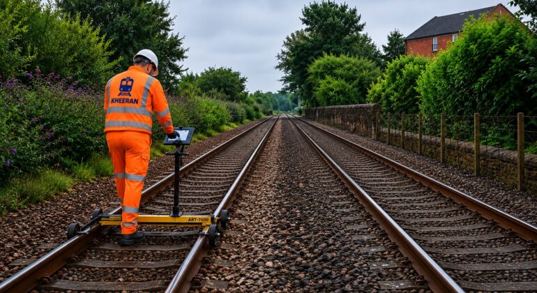
LiDAR — Light Detection and Ranging — fires laser pulses and times their return to record millions of precise 3D points. Mounted on a hi-rail vehicle, it builds a survey-accurate digital twin of an entire rail corridor in a single pass, with no need to walk the live track.
How a mobile rail scan works
A scanner array collects thousands of points per second, capturing everything in line of sight within roughly a 100-metre radius, while cameras record 360-degree geo-referenced colour imagery. The trick to accuracy is navigation: a tightly-coupled GNSS receiver and inertial measurement unit keep the position solution stable even in cuttings, under bridges or beside dense vegetation where satellite signal drops out. The track centreline is then measured directly from the scan, so every captured feature carries a chainage and a precise offset from the rail-head plane — exactly the reference frame rail engineers work in.
What the point cloud delivers
From one dataset you can inventory assets — signals, signs, poles, catenary, drainage and lineside furniture — and check structure-gauge and loading-gauge clearances against bridges, tunnels and platforms. The same cloud reveals vegetation and right-of-way encroachment, supports earthworks and slope assessment, and feeds as-built 3D and BIM models for design and asset management.
AI does the heavy lifting
A corridor scan can contain billions of points across many tiles — far too much to process by hand. Deep-learning models (PointNet-style neural networks) classify the cloud automatically, separating ground from structure and extracting assets, then export to standard LAS/LAZ and GIS/CAD/BIM formats. The result is accuracy and scale that manual extraction simply can’t match — though every output is still reviewed by an engineer before it reaches you.
Safer and faster
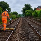
Because the crew works from inside the cab, nobody has to walk the corridor, and operations carry on uninterrupted. Broad stretches of railway are captured quickly and safely — the same approach used on projects from Amtrak’s New York Penn Station to SNCF in France.
Curious what a digital twin of your corridor could show? Explore our LiDAR asset scanning.